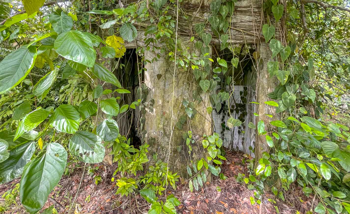
Within the luscious forest of Thomson Nature Park lies hidden remains of a once bustling Hainan village now taken over by cheeky wildlife and overgrown greens.
I find ruins incredibly charming — sometimes it feels like we’re intruding, getting a peek of a once private space that no longer exists at the time you’re visiting.
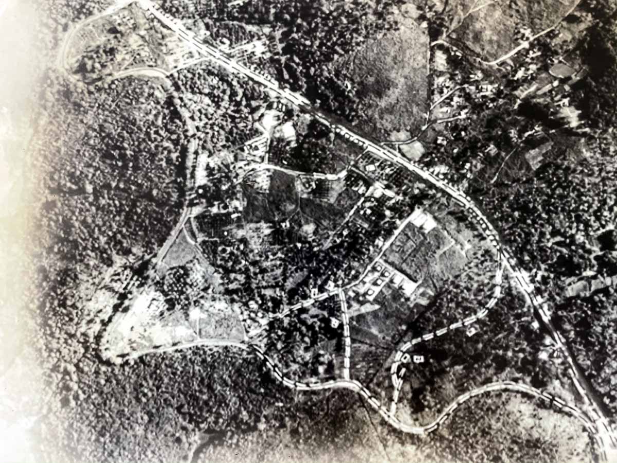
Back in the 1930s, this space used to be a brimming village of Hainan people. But since the people vacated in the 1980s, the forest has reclaimed its land, weaving through the once laid bricks.
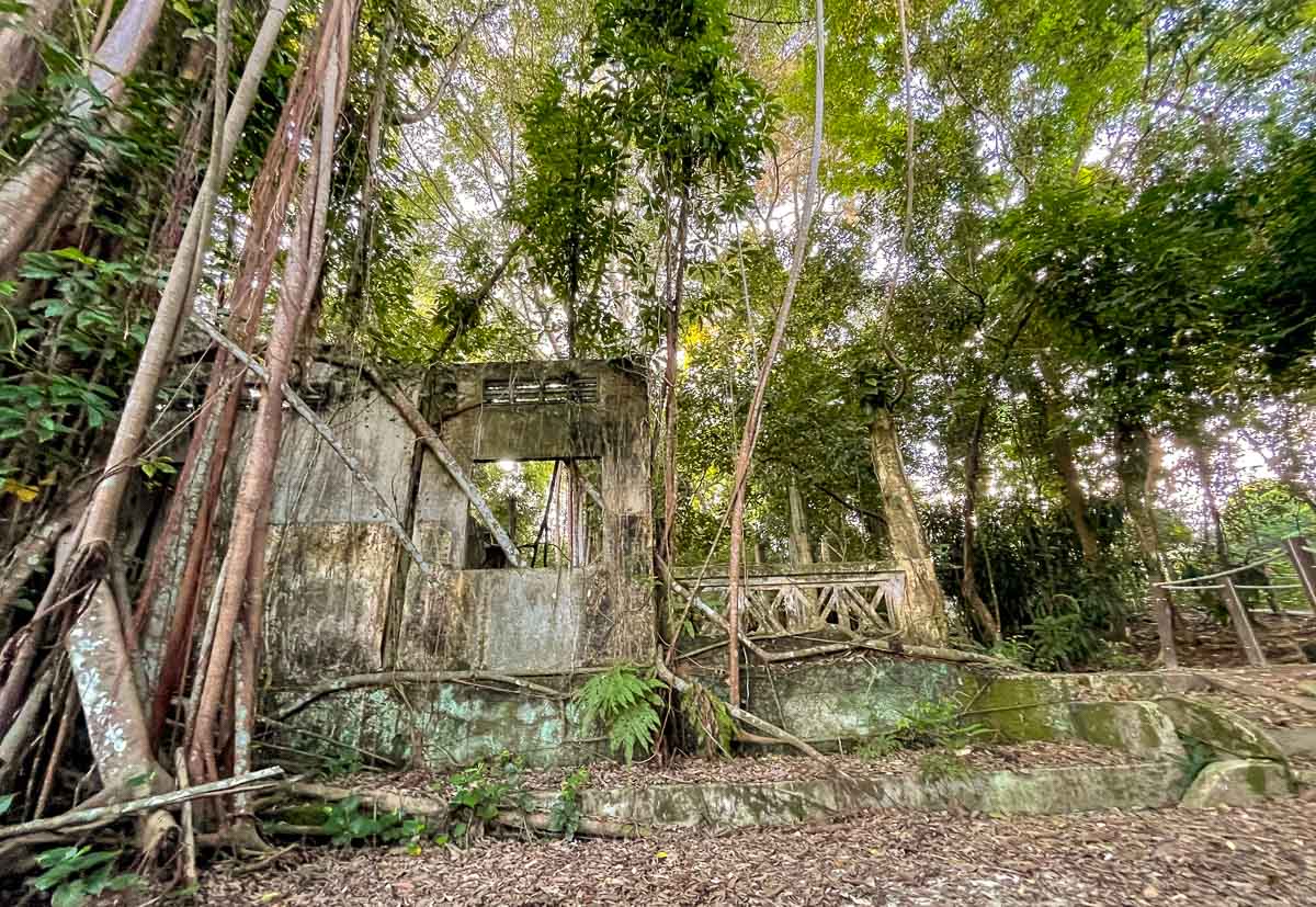
It’s a fairly accessible hike, with clear paths for the most part and short bursts of elevation.
For more hikes, check out our Ultimate List of Hiking Trails in Singapore — ranked from chill to adventurous.
How to get to Thomson Nature Park
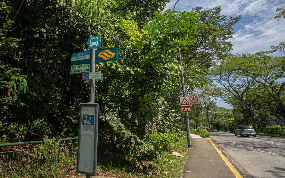
By public transport: From Yio Chu Kang MRT Station, take bus 860 from ‘Yio Chu Kang interchange’ to ‘Aft Tagore Dr’ bus stop. The bus ride is ~15mins.
Alternatively, you can take the following buses: 138, 167, 169, 640, 860, 980 to ‘Opp Tagore Road’ bus stop. From there, it’s a 2min walk to the main entrance of Thomson Nature Park.
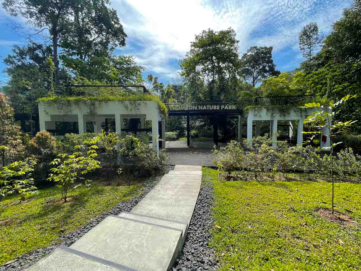
By car: There’s a 26 lot carpark off Upper Thomson Road, which is also the main entrance of Thomson Nature Park. Parking rates are $0.60/30mins. Gets filled up pretty quick on the weekends. If this is full, there’s another parking space at Casuarina Road Car Park at the end of Yio Chu Kang road. From there, you can either walk along the Old Upper Thomson Road to the start of Langur Trail or take 3 bus stops to the entrance of Thomson Nature Park.
By Grab/cab (no parking needed): If you don’t have to worry about parking your car, you can ask to be dropped off along the Old Upper Thomson Road and access the path via the Langur Trail or Macaque Trail. These two trails connect to the Ruins & Figs Trail too. More on this at the end!
Recommended Route for Thomson Nature Park
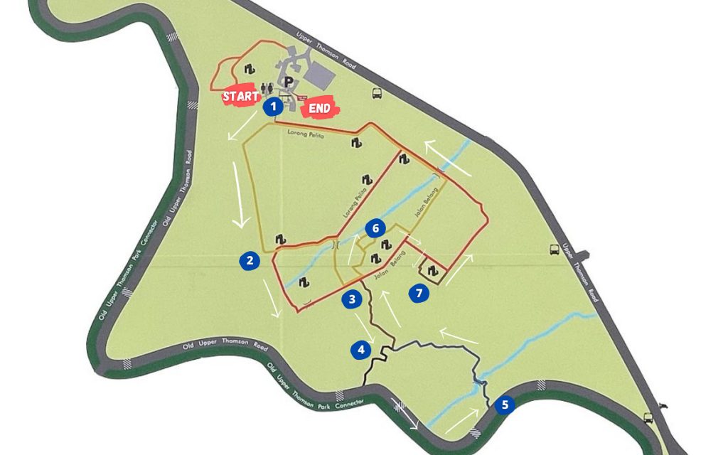
From the main entrance of Thomson Nature Park, there are three main trails: Rambutan Trail (orange), Ruins & Figs Trail (red) and the Stream and Ferns Trail (yellow).
If you’re visiting over the weekends, the clockwise direction tends to be more crowded so we’ll be covering it from the anti-clockwise direction here.
The main ruins can be found between points three and six.
Total distance: 3.8km
Recommended time: ~1.5hrs
1) Starting point of Thomson Nature Park
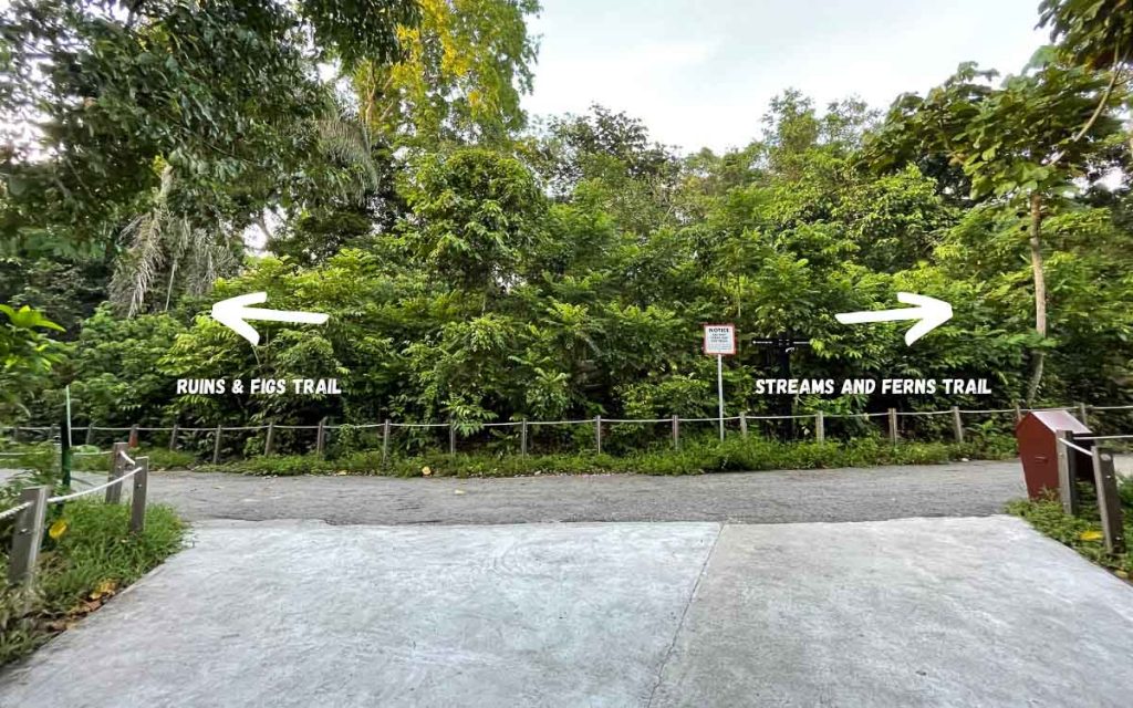
After the main entrance, you’ll see a split path — left goes towards the Ruins & Figs Trail, right side starts on the Stream and Ferns Trail.
Most people start from the left (Ruins and Figs Trail) because the right path has a slight incline at the start. But trust me, it’s short and there will be downhills and flats before you know it.
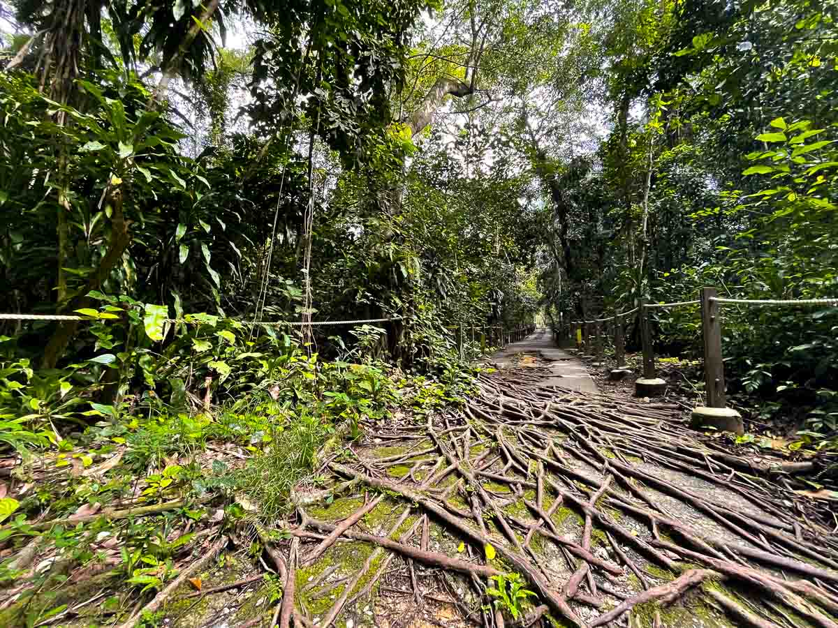
400m in, you’ll see a section of the cement floor overtaken by some roots. It’s funny how nature just DGAF about where it grows.
2) Ruins on the left?
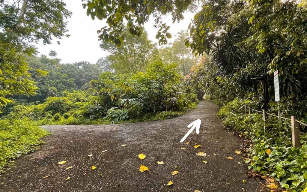
So, the map says there’s a ruin on the left but honestly, there’s not much here — don’t worry there’ll be more along the way. You can ignore the left turn and continue straight. You’ll know you’re on the right trail when you hear a stream flowing shortly after.
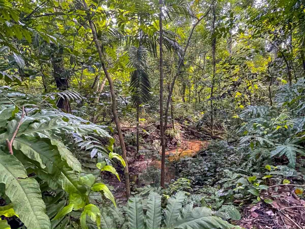
The next crossroad will be towards the monkey trails (Langur and Macaque) — you can skip this if you’re short on time or just want to see the Hainan ruins (skip to Point 6).
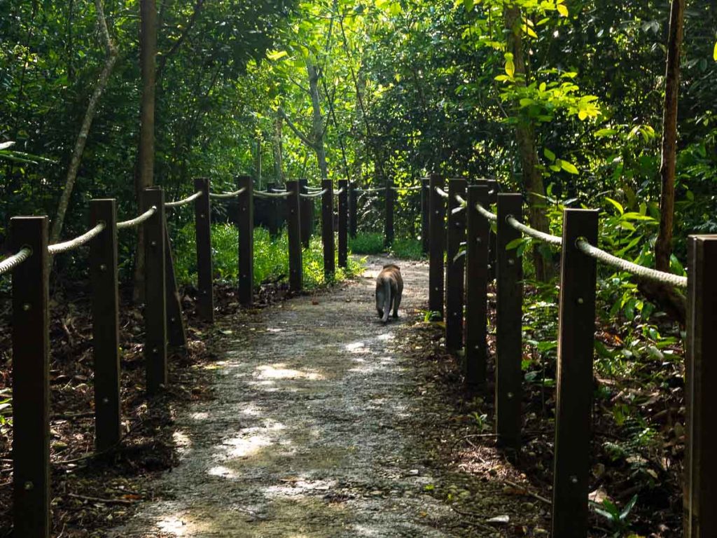
Otherwise, it’s also an enjoyable walk with shy monkeys along the way. They’re a lot less aggressive than the ones you’ll find at MacRitchie for sure.
Continue on until you see a path that opens up on the right. This is around 1km into the trail.
3) Monkey Trails (Start with Langur Trail)
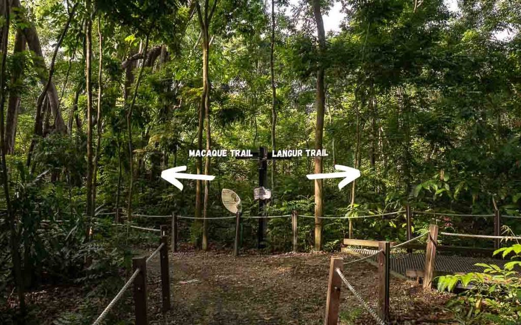
A short walk in, the next split paths are the Langur and Macaque trails. You can pick either as you’ll be taking the same route back to the old Jalan Belang road. The trail below begins from Langur Trail (right side).
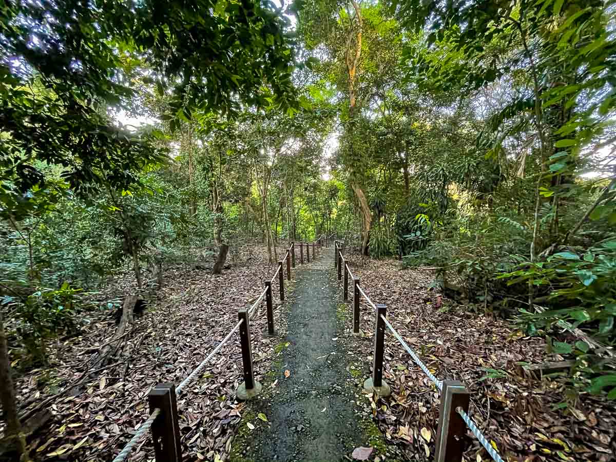
Langurs are monkeys that are apparently rare and critically extinct so most hikers have claimed to not sight any on this trail.
We did see quite a few of monkeys on this trail, but we don’t know enough about monkeys so they could be of another species (Macaques perhaps?).
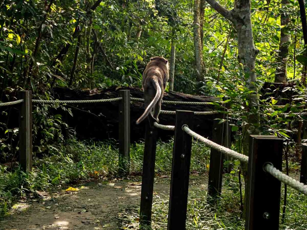
They’re generally quite shy and won’t approach humans but definitely try to keep food away when walking through this path.
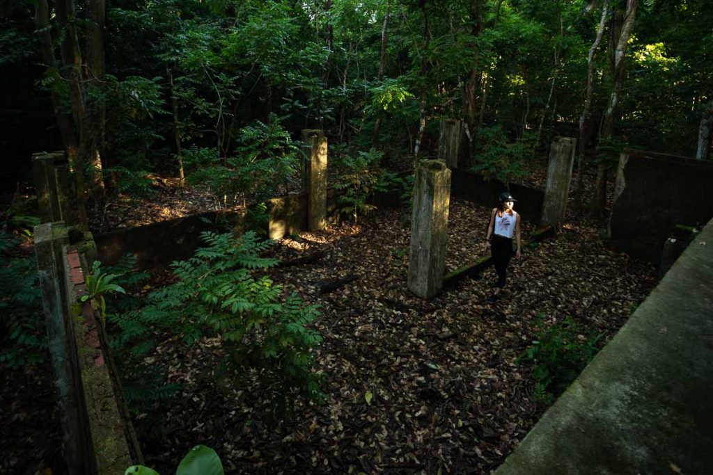
Before the end of the Langur Trail, look out for old remains of a structure on the right side of the board walk.
*Note: You’re strongly recommended to stay on the designated trails to avoid trampling on endangered plant saplings or affecting animal behaviour in the area (yeah, don’t be like the person in the picture above)!
4) Old Upper Thomson Road
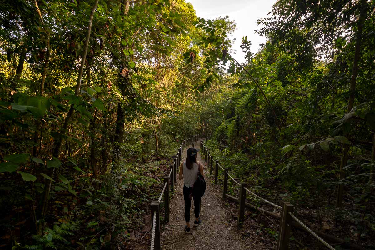
At the end of the the Langur Trail, you’ll find a tarmac road accessible to cars, bikes and a jogging track. Take a left on the road to get to the other end of the Macaque Trail.
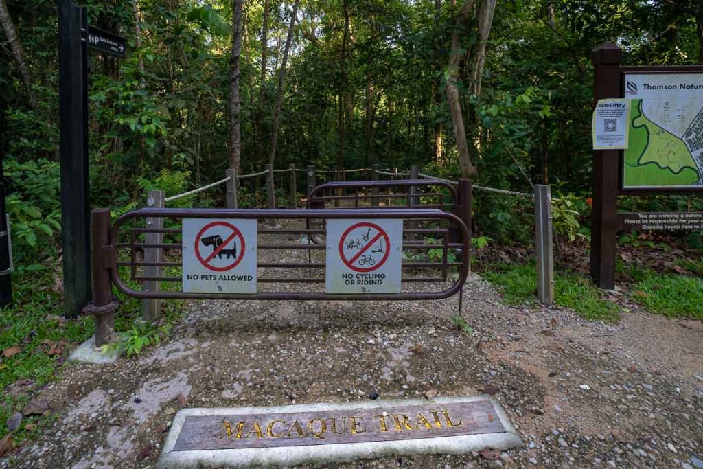
5) Macaque Trail
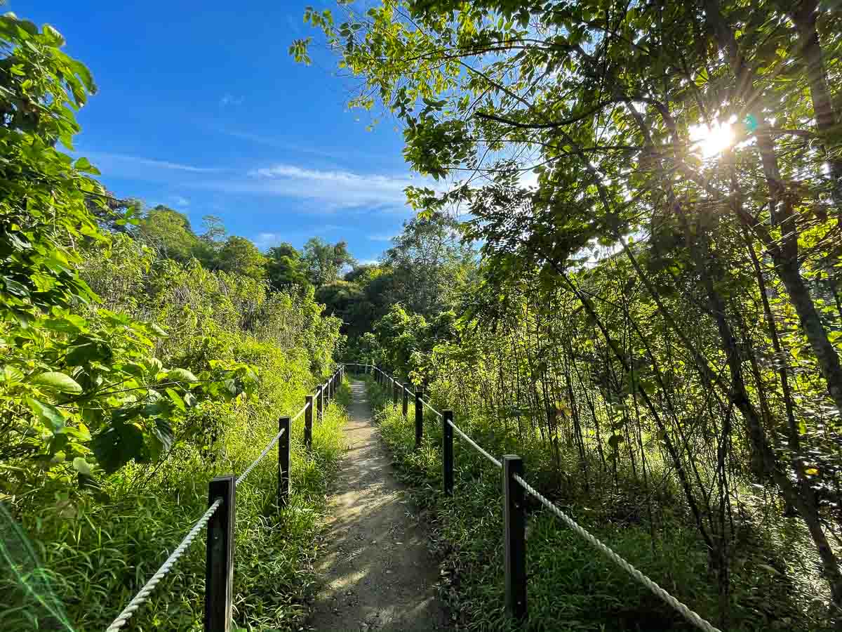
This path is the Macaque Trail. There’s a stream that runs through this trail so you’ll hear water running but don’t worry about getting your shoes wet as there’s a nice boardwalk laid over it. At this point you’d have covered about 1.9km (halfway there)!
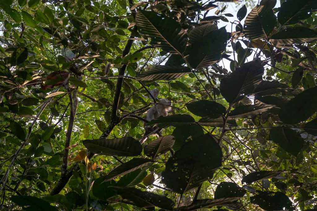
If you hear rustling, look up and you might see a family of macaques swinging through the branches.
6) Hainan Ruins — House no. 21 and 25
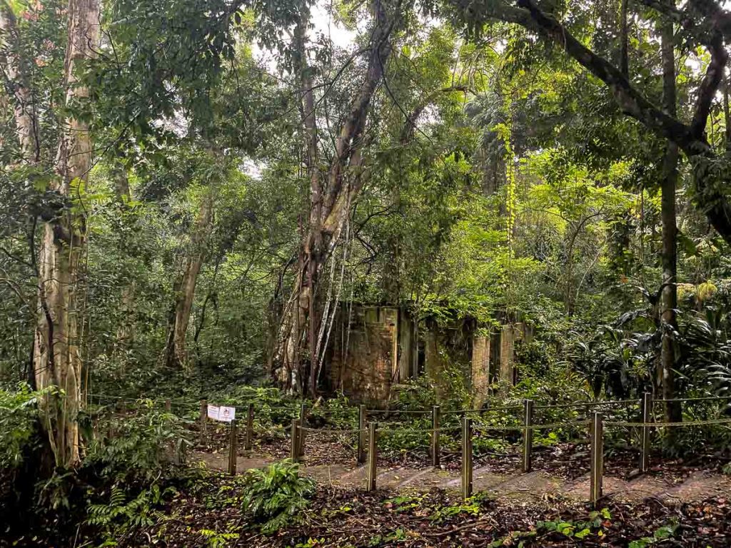
This is where it gets interesting. On Jalan Belang road, a slight detour on your left (down the stairs) will bring you to House 21 — belonging to the Wong family.
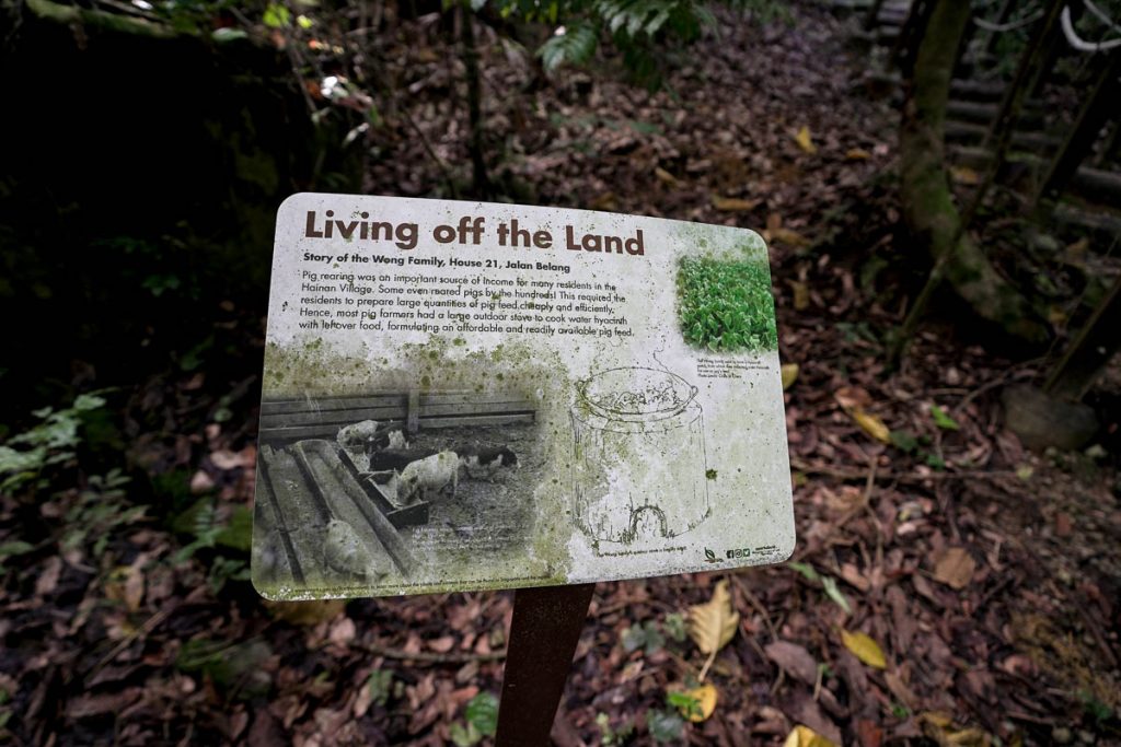
This family used to rear pigs so further down, you’ll see remains of a huge pot taken over by trees, what was previously used for cooking feed for the pigs.
As the path turns uphill, spot the brick column at the side of the trail. This marks the entrance to the Han family’s home — sound familiar? Yes, fun fact, they’re the family behind the Han’s Cafe chain business!
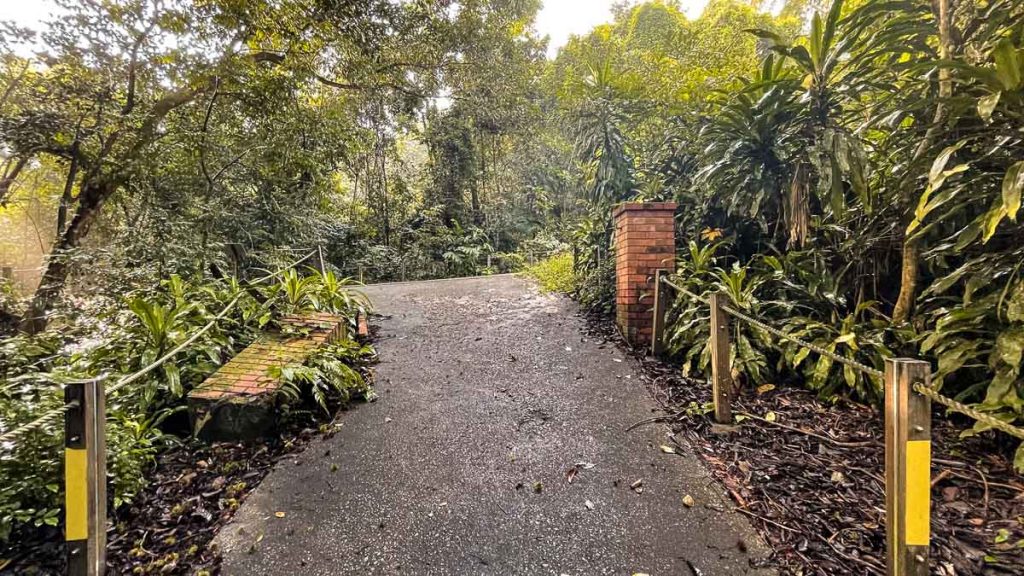
After the two brick columns, take a right then left at the next crossroad.
7) The main attraction of Thomson Nature Park
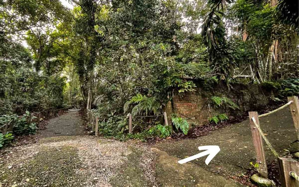
When you see this crossroad, take a small detour to the uphill path on the right – this would be the 2.7km mark.
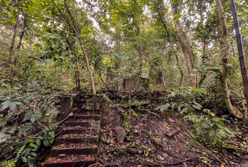
Don’t be overwhelmed by the uphill, you won’t have to take the path up entirely. Look out for the opening on the right side for the main ruins.
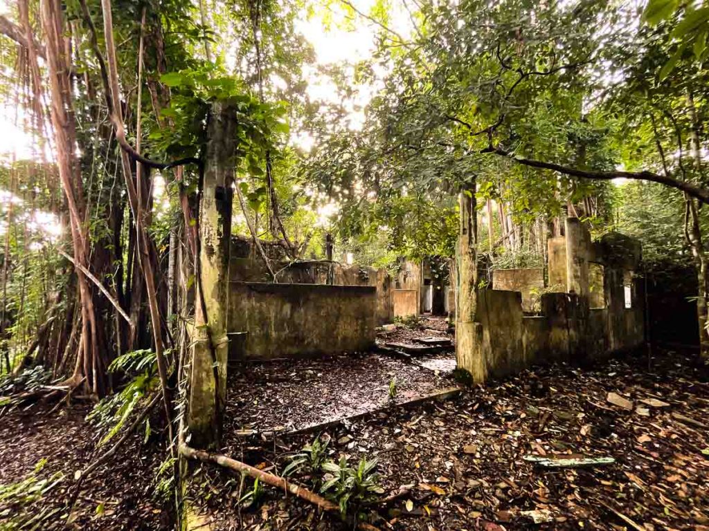
This is perhaps the most intact structure that remains in Thomson Nature Park. In fact, some of the colourful tiles are still intact with their design still visible. You can even see where the toilets used to be.
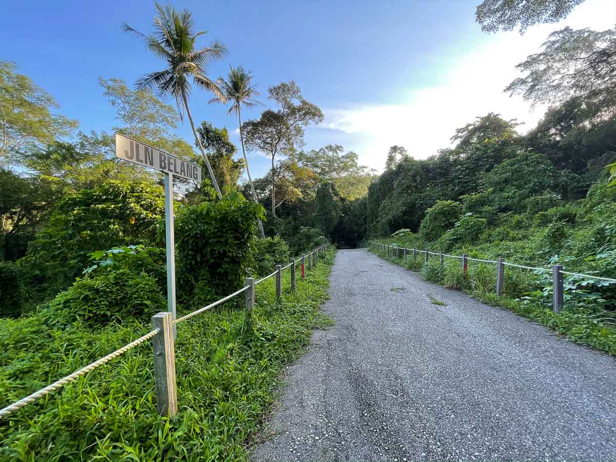
After the last ruin, just follow the signs that point towards “main entrance”. From this point, it’s only a ~700m walk back to the carpark.
Some things to consider when hiking at Thomson Nature Park
1) Toilets
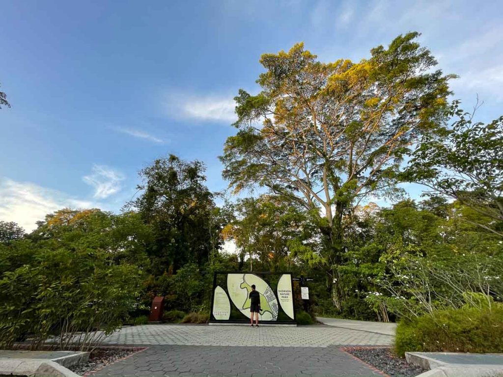
Toilets are located at the main entrance, next to the carpark. These will be the cleanest ones throughout your trail, as the rest are ruins — JK, please don’t use the ones in the ruins. There’s also a water cooler so you can fill up your bottles before you start.
2) Try not to bring plastic bags
Especially when you’re on the Macaque Trail, try to keep food and rustling plastic in your bags as the monkeys will associate it with food and try to snatch them from you. Otherwise, the Macaques will generally leave you alone.
3) Alternative starting point to the ruins
There are a total of nine ruins to spot throughout Thomson Nature Park but the nicest one (IMO) is nearer to Old Upper Thomson Road.
*Pro-tip: If you’re short on time, you could cab to the start of the Langur Trail. From there, the ruin is only a 10-15-minute walk in. Once you hit Jalan Belang, turn right and follow the Ruins & Figs trail.
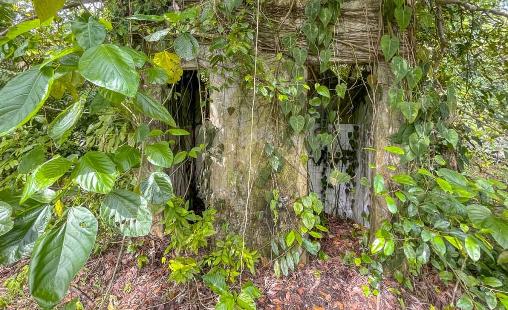
Toilets at Thomson Nature Park (JK, there are more modern ones on the right side of the main map board pictured above)
The MacRitchie Treetop Walk used to be a popular favourite weekend hike but since it’s slated to be closed for maintenance up till May 2021, Thomson Nature Park makes a good alternative — it’s just five minutes away from MacRitchie too. Next time you’re craving a bit of adventure or just need an escape from the city, check out this trail and let us know what you think!


